Interactive Park Map
Explore Sandy’s Parks & Trails with Our Interactive Map
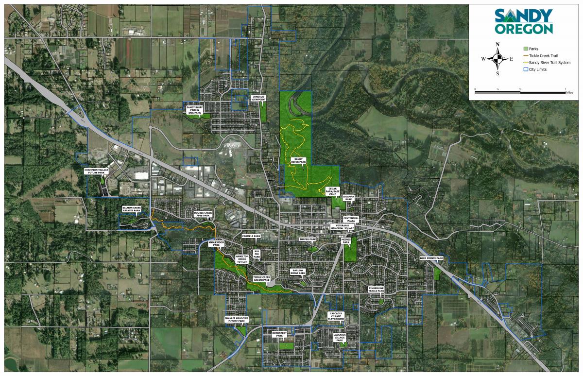
Discover everything Sandy’s parks and trail system have to offer through our new interactive map. Designed to help residents and visitors easily explore parks throughout the city, this user-friendly tool provides a comprehensive view of Sandy’s recreational amenities all in one place.
Users can zoom in and out, pan across the map, and click on individual parks, trails, and recreation areas to learn more about each location. Every park marker includes detailed information such as park features, available amenities, photos, and additional resources. Whether you are looking for a playground, picnic shelter, basketball court, skatepark, trail access, open green space, or other recreational opportunities, the interactive map makes it easy to find the perfect destination.
The map also allows users to follow trail routes throughout the community, helping walkers, runners, cyclists, and families discover new places to explore.
Whether you are planning your next outdoor adventure, searching for a neighborhood park, or simply learning more about Sandy’s growing park system, this interactive map provides a convenient and engaging way to connect with the community’s parks, trails, and recreation opportunities. Start exploring today and discover all that Sandy’s parks have to offer.