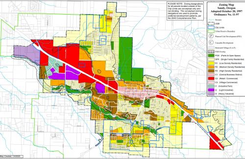
Sandy Base Maps
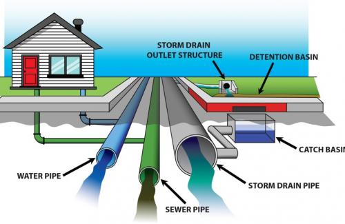
The City of Sandy, in cooperation with the Clackamas County GIS Department, maintains GIS (Geographic Information System) data of City utilities and Planning Data. Utility locations and boundary lines on GIS maps and online tools are for informational and reference purposes only and do not constitute a legal survey. Utility locations should be determined by contacting the Oregon Utility Notification Center by calling 811. Parcel boundary lines are approximations based on tax records and can be inaccurate by 20 feet or more, meaning they cannot be used for boundary disputes, property conveyance, or legal decisions.